Create Presentation-Ready U.S. Maps in Seconds
Skip the drawing tools. Get fully customizable, professional vector maps for every state, county, and ZIP code—ready for PowerPoint
- Editable shapes
- PowerPoint + SVG
- Instant download
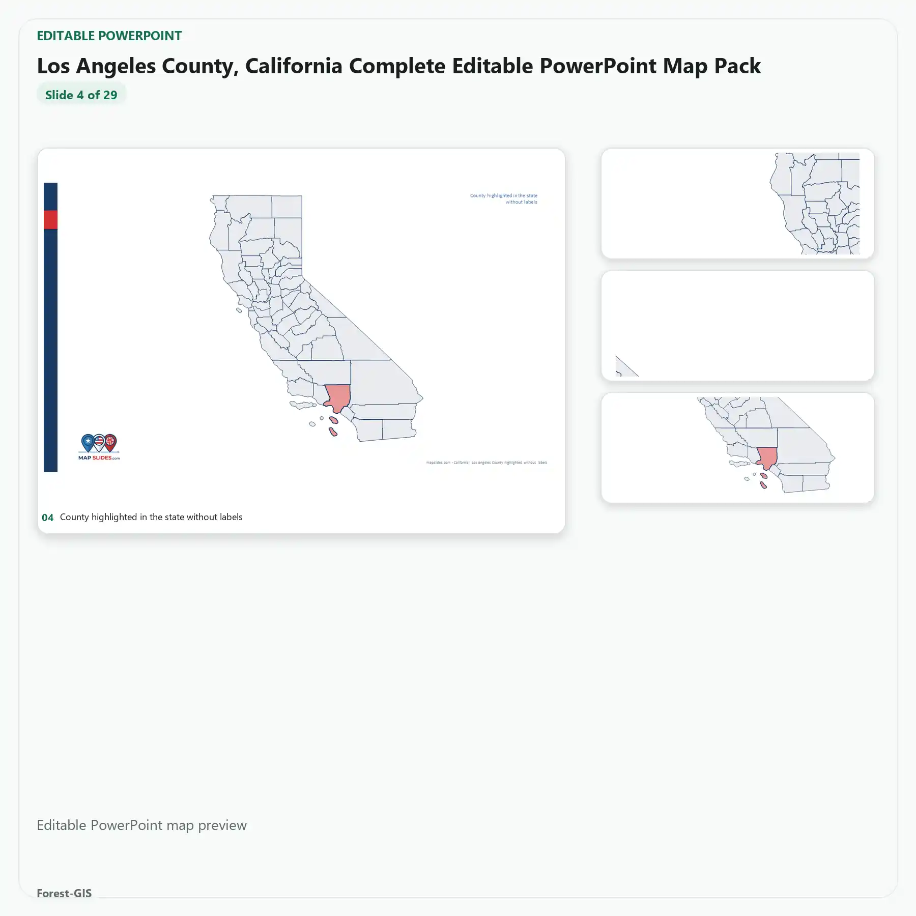
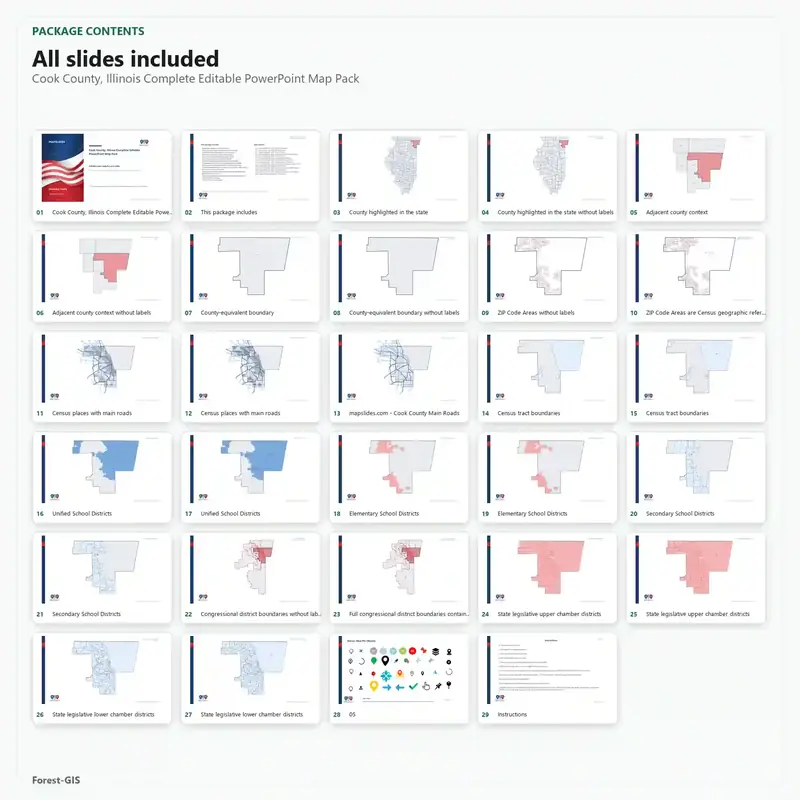
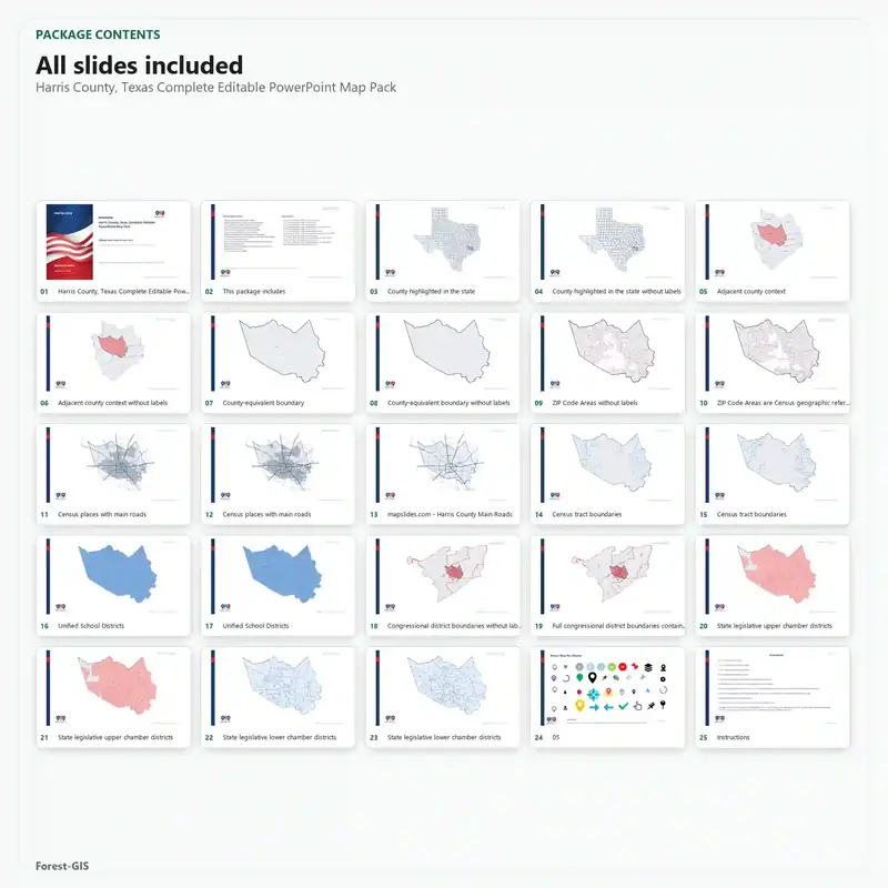
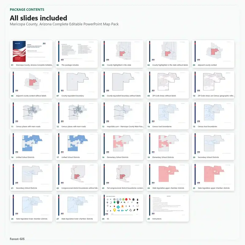
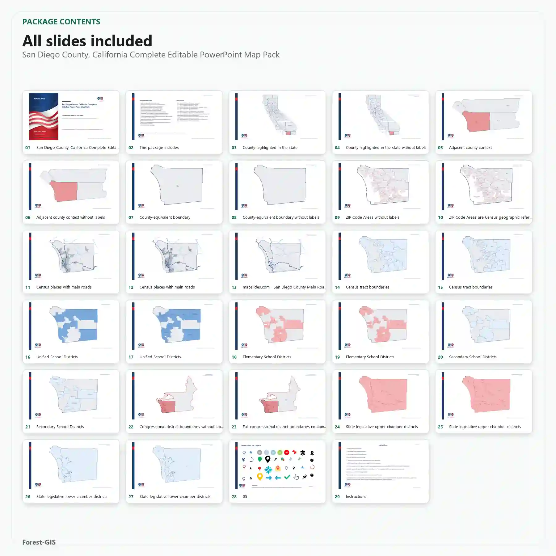
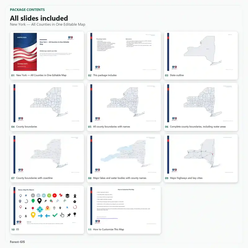
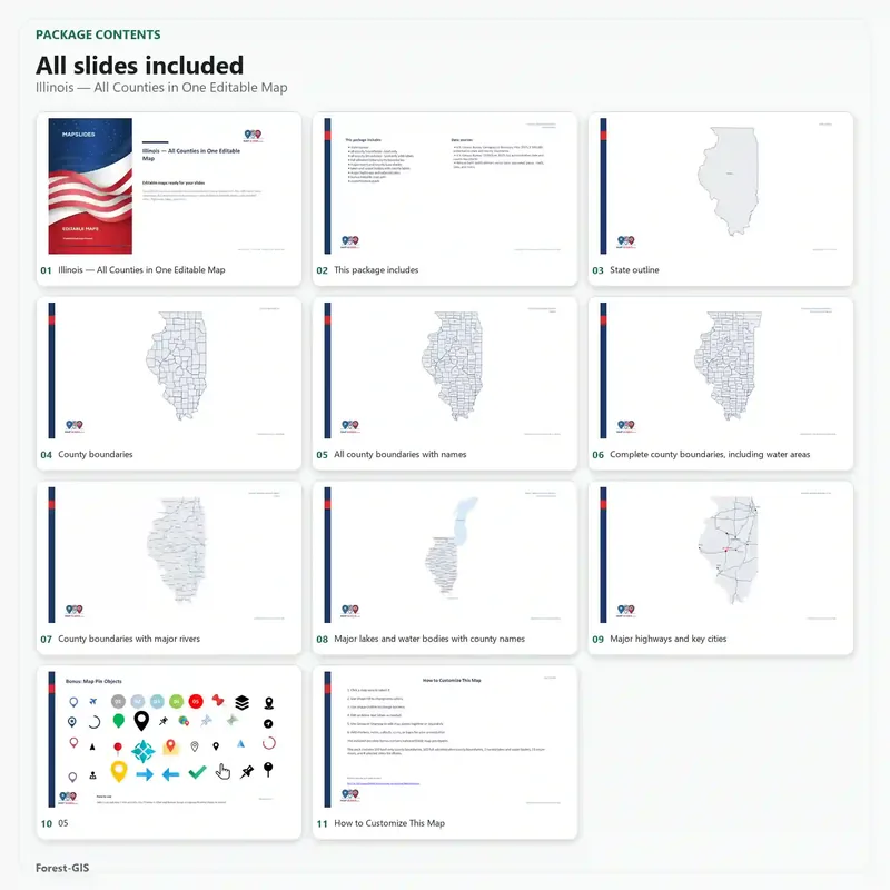
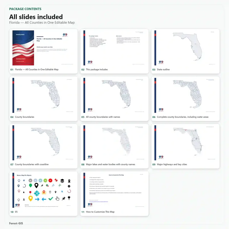
Sample map packs
Five of the most populous U.S. counties, plus state map packs for New York, Illinois, and Florida.
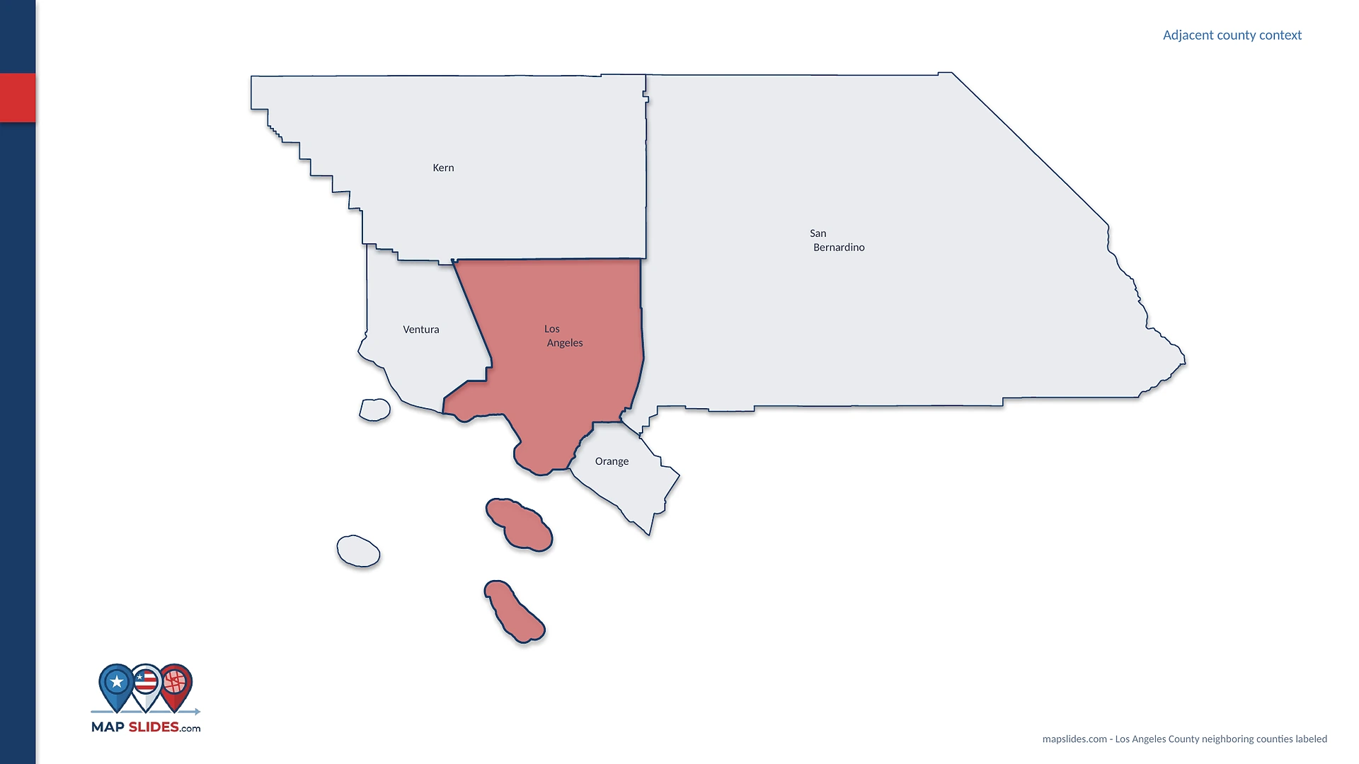
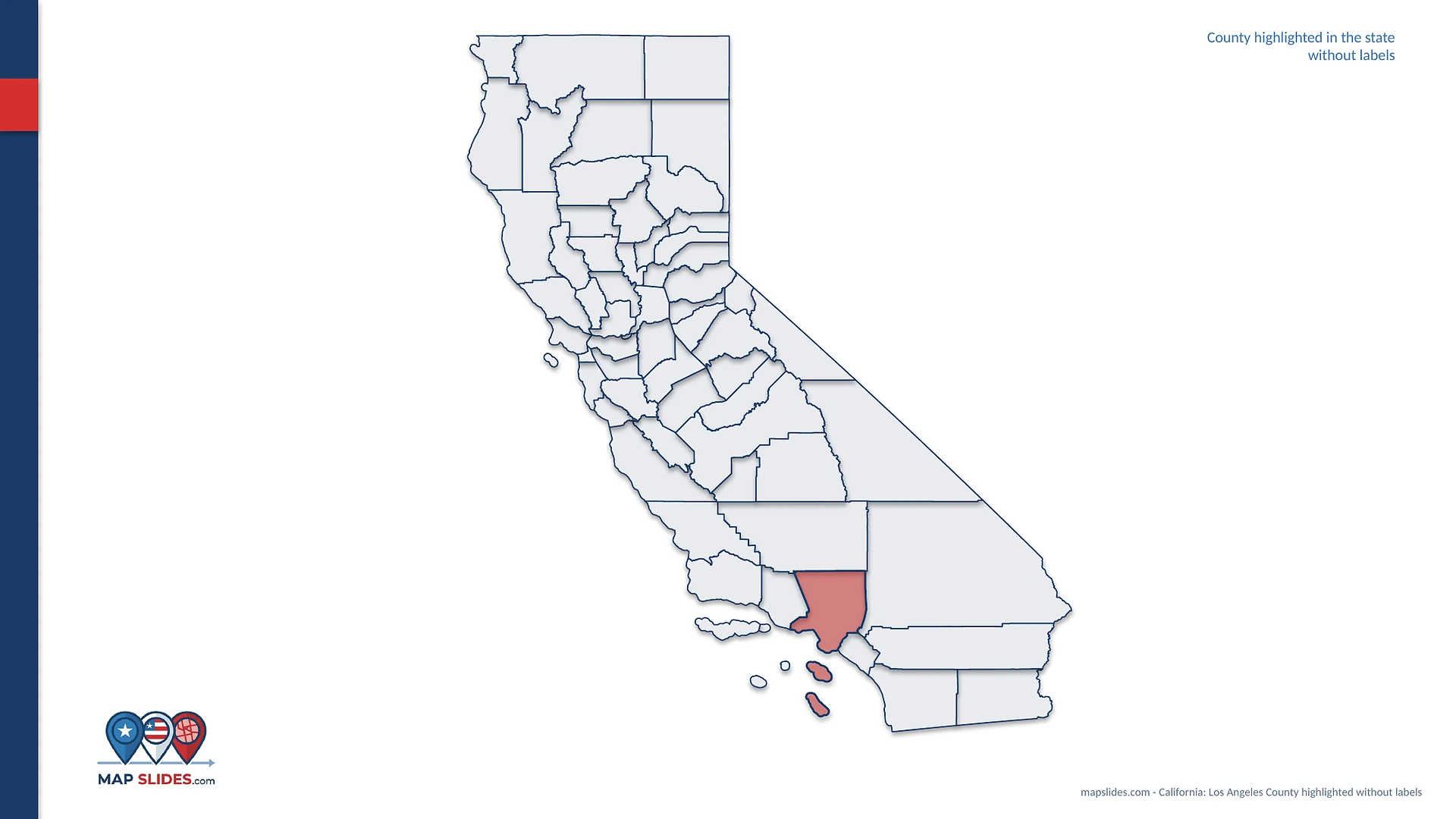
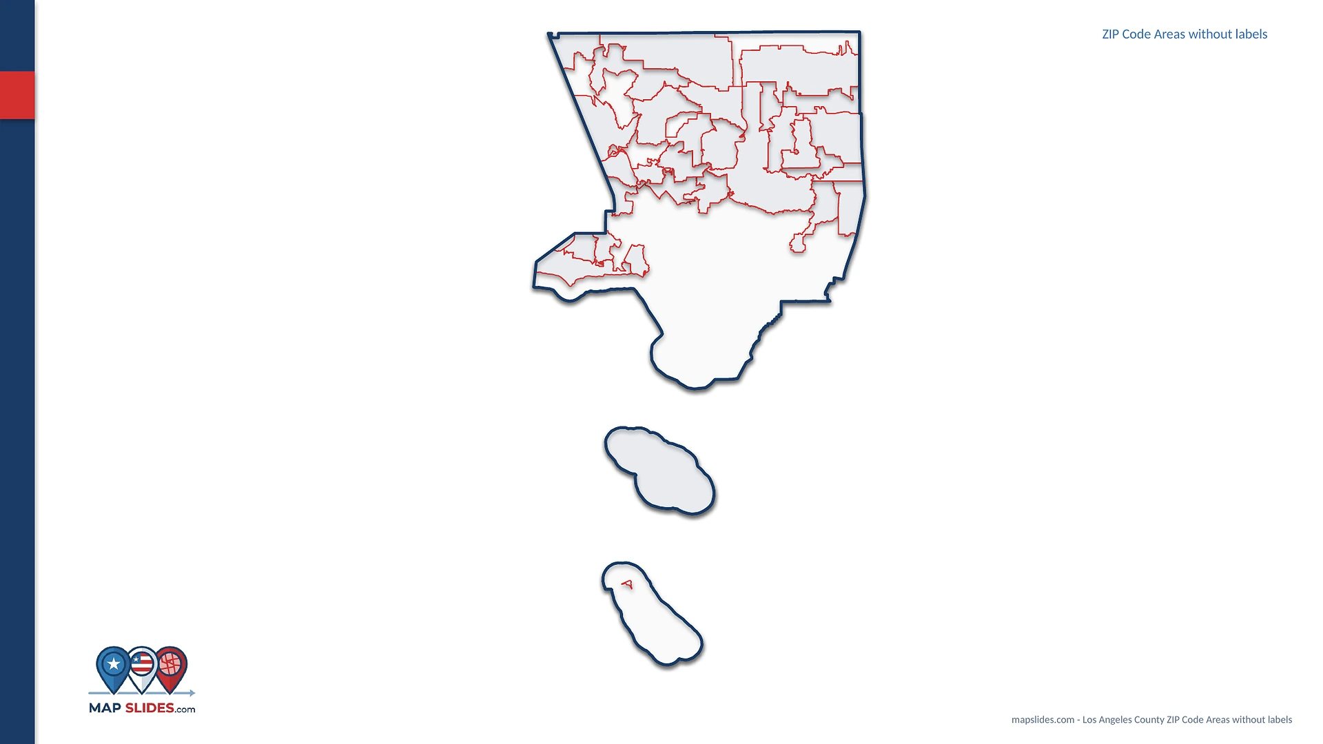
See the actual map views
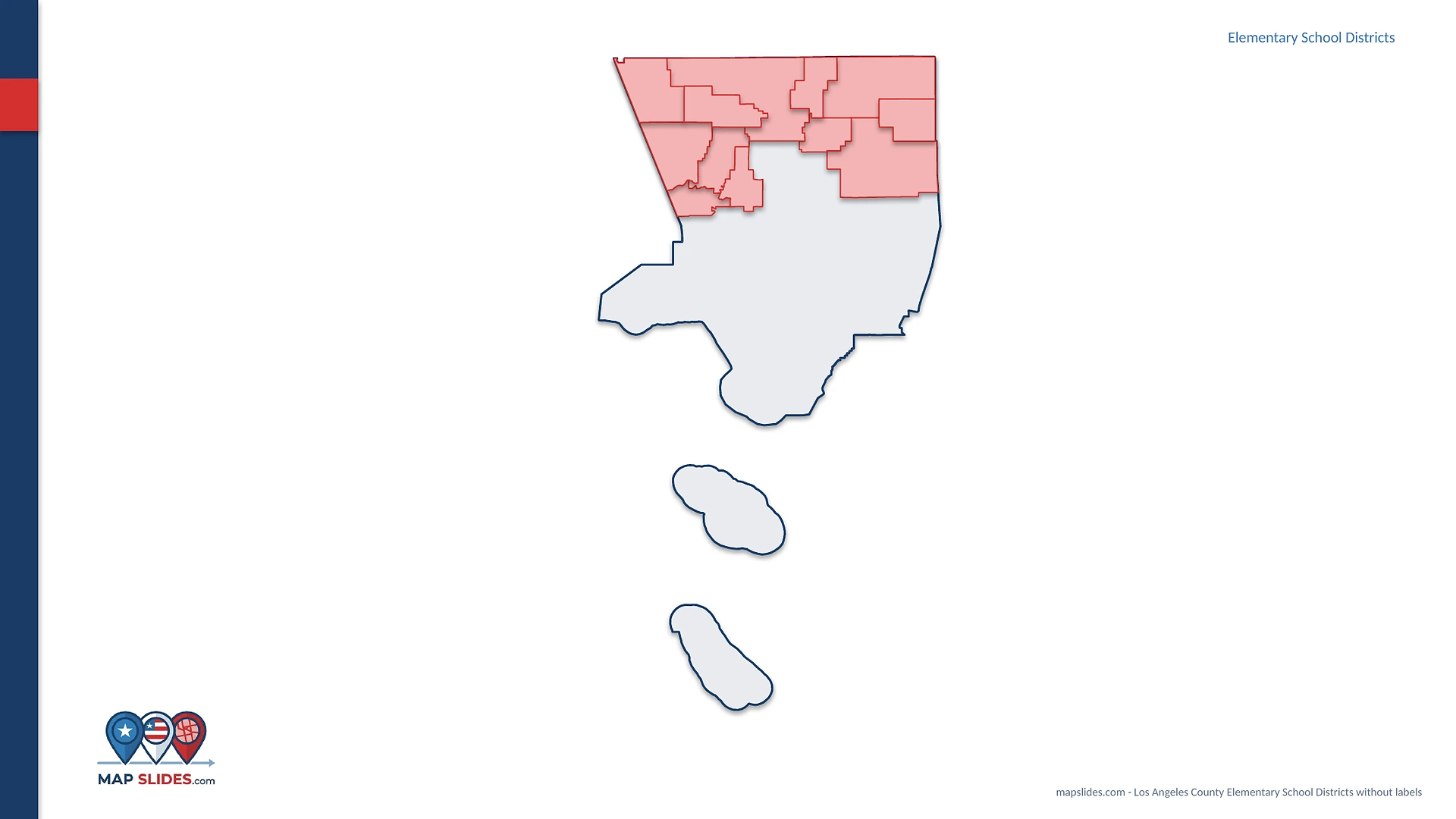
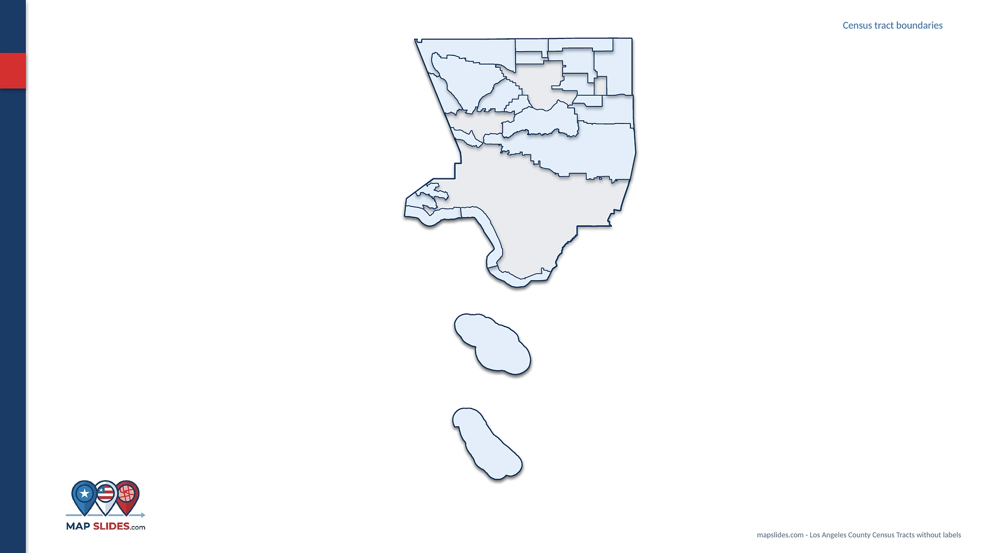
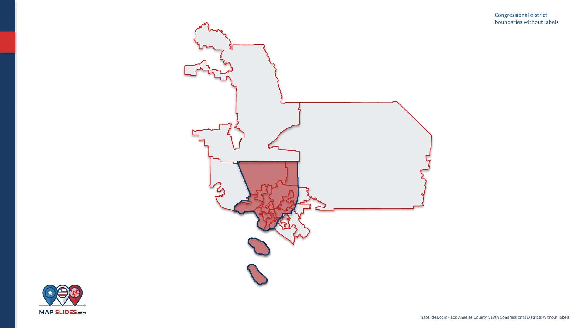
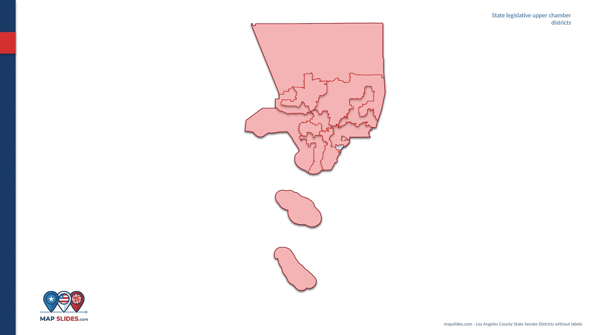
Real views from a MapSlides county pack: state context, neighboring counties, ZIP Code Areas, Census tracts, school districts, and legislative boundaries.
Go straight to the geography you need.
Open a state to browse the map packs currently available for that area.
Know exactly what you can edit.
MapSlides products are designed for people who need useful U.S. geography in presentation and vector formats without rebuilding the map from scratch.
Are the maps editable?
Yes. PowerPoint map areas and labels are designed to be edited, and applicable vector maps are supplied as SVG files.
What files are included?
The exact files vary by product. County map packs include an editable PowerPoint deck plus applicable SVG vector maps, with the product page and README listing the included views.
Can I change colors, borders, and labels?
Yes. The maps are built so you can restyle individual shapes, change outlines, and edit or remove text labels for your own presentation.
Are ZIP Code Areas official USPS delivery boundaries?
No. ZIP Code Area products use U.S. Census geographic approximations and are not official USPS delivery boundaries.
Where does the map geography come from?
Each product lists its sources. Current county map packs use U.S. Census TIGER/Line geography for the layers stated in the package.